Call Now
(+91) 96094 80596
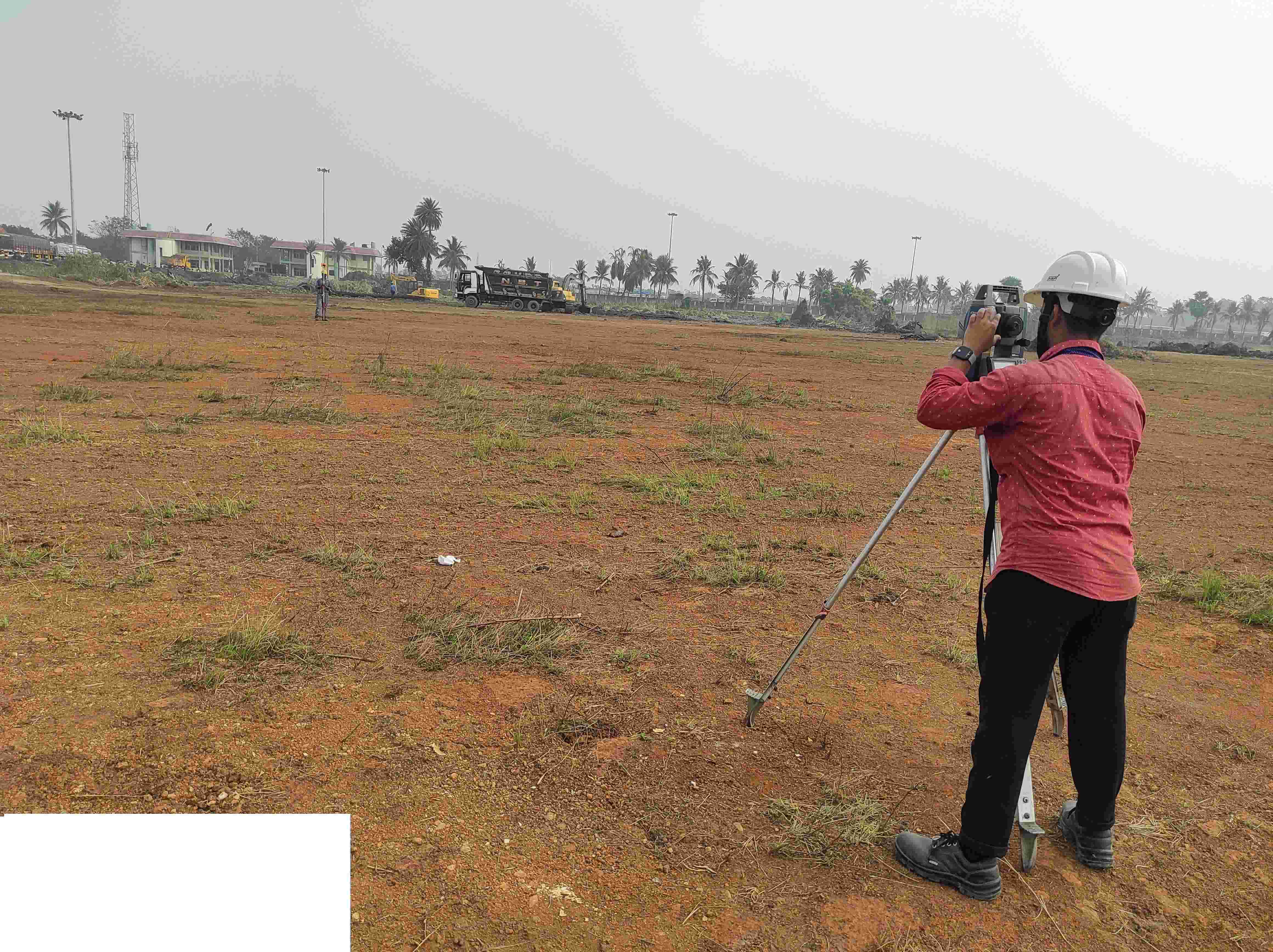
Contour Survey
Contour Survey involves detailed mapping of land elevations and slope patterns to understand terrain behavior. It is essential for drainage planning, earthwork estimation, road alignment, and infrastructure development.
Benefits
- Accurate elevation and slope representation
- Effective drainage and flood planning
- Supports road and canal design
- Helps in cut & fill volume calculation
- Ideal for large land development projects