Call Now
(+91) 96094 80596
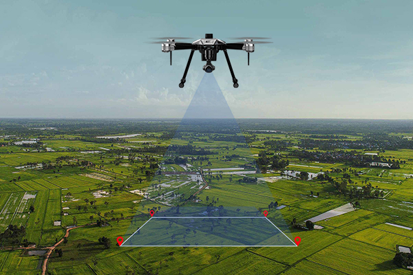
Drone Survey
Drone Survey uses aerial technology to capture high-resolution images and data for mapping, inspection, and monitoring of large and difficult terrains with speed and accuracy.
Benefits
- Quick data collection over large areas
- High-resolution aerial imagery
- Cost-effective surveying solution
- Ideal for mining, roads, and land mapping
- Improves project monitoring and reporting